Savant is our AI-driven real-time smelting activity tracker. It provides indicators of smelter activities around the globe, in an easy-to-understand format, covering multiple metals and minerals.
You can read more on the Savant service page.
Here are the answers to some frequently asked questions about Savant.
What is the SAVANT Global Copper Smelting Index?
This is an index that provides an overall picture of global copper, smelting production, measured as a proportion of capacity that is in active production. The index value is between 0 and 1 and is updated daily. The higher the value, the more smelting activity is apparent. It was developed by Earth-i in partnership with Marex Spectron, supported by the European Space Agency (ESA).
How is the Index calculated?
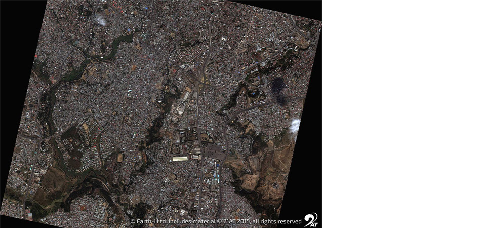
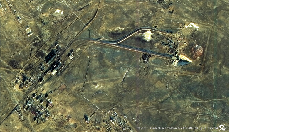
Earth-i uses satellite data to monitor every known, significant copper smelter around the world. The Index is created through the application of proprietary machine learning and artificial intelligence processes to satellite images. The images go through a series of automated processing steps to detect and measure the characteristic operational fingerprints of each smelting site. This can vary with factors such as site layout and smelting technology, so each site undergoes characterisation mapping that is constantly updated.
The result is the derivation of an operational status for each smelter, either active or inactive. The activity statuses of all smelters are aggregated into a single value which reflects the availability of global smelting capacity. Each smelter’s contribution to the Index is scaled based on its theoretical tonnage capacity, so a large capacity smelter contributes proportionally more than a smaller one.
How many smelters are included in the Index?
Earth-i currently incorporates approximately seventy-five smelters in the Index, representing published capacity of over 15,000 kT/a. Earth-i’s research suggests that this represents approximately 80% of global smelting capacity.What happens when new smelters come online?
Earth-i locate and monitor the sites where new smelters have been announced, tracking the site through its testing and trial phases. Once a site has been announced as being operational, then Earth-i will add it to the SAVANT Index. Similarly, smelters will be excluded from the Index when we can no longer detect smelting activity over the long term and they are announced as closed.
Why are some smelters excluded from the Index?
Earth-i monitors over 30 smelters that are not currently included in the Index. The machine learning techniques developed cannot always be applied to every smelter, due to complicated site characteristics. If our quality assurance process determines that it is not possible to consistently determine a smelter’s status with an adequate level of confidence, we will exclude it from the Index.
As we continue to develop the tool and innovate new techniques, we expect to increase the number of smelters and the smelting capacity that we include in the Index as we overcome those complex site characteristics.
How are the smelters located and mapped?
The smelters need to be precisely located so their status can be assessed using satellite data. Although smelter locations are well publicised in some countries, this can be complex in other countries where they may only be published to a regional level. Machine learning is applied to satellite imagery to help accomplish this task.
Copper smelters have several sub-regions within their perimeter, such as concentrate stocks, furnaces, slag tipping areas, yards where slag is left to cool, areas for cooling of copper cathodes, and loading areas from where copper cathodes are shipped by rail or road to refineries. Once the smelter is located, Earth-i map the smelter to determine the features that are important to determining the operational status of the smelter and to identify any features which might cause anomalies in the algorithms that determine activity.

