27 March 2024 – The Earth-i team has successfully delivered GAINS, an operational system which provides up-to-date information on global supply chains for metals and minerals.
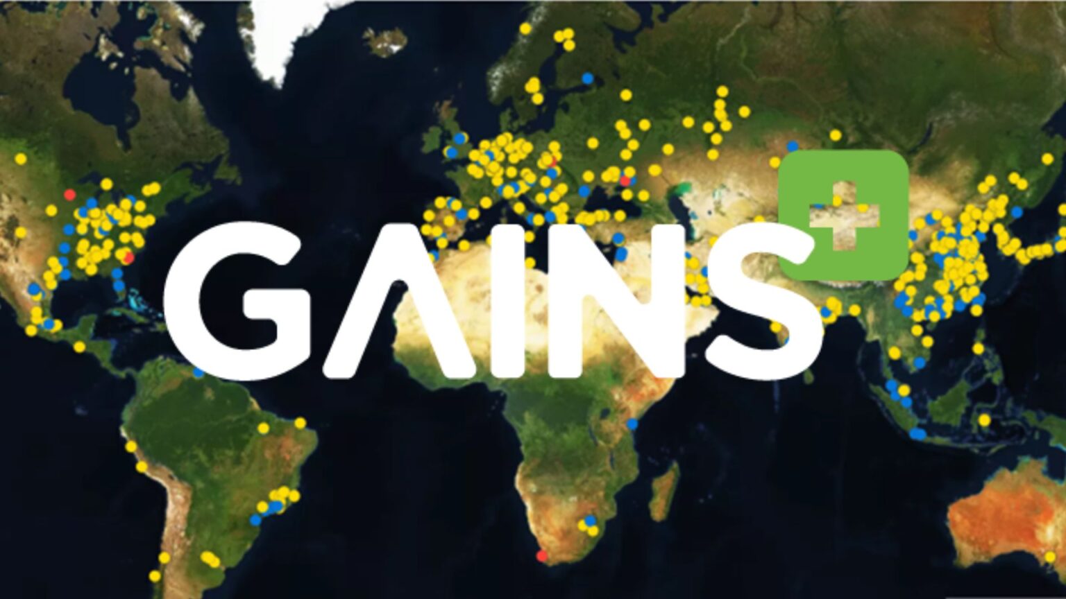
Earth-i’s GAINS Global Activity Indices from Space (GAINS) platform, developed under European Space Agency – ESA‘s Business Applications and Space Solutions BASS Programme, monitors and tracks activity at numerous globally distributed industrial sites to provide high-frequency indicators of activity in complex supply chains, with a focus on sites producing tradeable goods and high-value commodities. Two products were developed as part of the project: a steel smelter activity monitoring service that covers over 95% of known global steel production, and an iron ore stockpiles product focusing on Chinese ports.
Francesco Feliciani, Head of the Company Led Projects Division at ESA, said “We are pleased to have supported Earth-i in the development of this service which has been well-received by industry, having already been adopted by targeted customers.”
Recognising that ground sources can be unreliable and patchy, GAINS uses a mix of very-high, high, medium and low resolution Earth observation data to deliver data-agnostic geospatial insights in a format that is easy for non-technologists to understand and use. The two initial products use different automated methods to process the data, including artificial intelligence, machine learning, spectroscopic analysis and volumetric calculations.
Earth-i launched the live operational GAINS service in May 2023 on a subscription basis. It currently uses optical satellite data of different resolutions from multiple operators, but will later expand to include radar and thermal imaging data, with the programme designed to accommodate other satellite and remote-sensing sources as well as new open source datasets.
The steel smelter product offers daily monitoring and a continuous dataset dating back to 2016, enabling users to aggregate data by company, country or region, or have custom filters, with options to compare production between different countries or regions. Globally, there are over 1200 sites related to steel production, of which around 800 are operational.
Target markets for GAINS include traders, asset owners, market research companies and regulators. GAINS can provide data down to individual asset performance level or aggregated up to a macro-economic level, depending on the requirements of each trader. Meanwhile, market regulators can use the data to better understand market movements and validate information being reported by industrial operators.
Charles Davis, CEO at Earth-i commented “The GAINS service demonstrates the power and scalability of fusing Earth Observation (EO) data and AI to be able to monitor, process and analyse over 1,000 sites dispersed around the globe on a daily basis to a high level of accuracy, and at a low cost. At a time that supply chains are becoming more opaque and more complex, GAINS provides the near-real time transparency our customers require to gain a competitive advantage by being able to validate data 30-90 days ahead of their competition. Earth-i is grateful to ESA and the UK Space Agency for their support to the GAINS project.”
The scalable architecture developed and demonstrated under the BASS project will enable Earth-i to add more critical materials in future, such as other metals, minerals and chemicals, and extend coverage along entire production chains in specific industries.
About Earth-i
Earth-i is a geospatial intelligence company using machine learning, artificial intelligence and Earth Observation data to provide unique and relevant insights, derived from diverse geospatial data, that deliver clear decision advantage for businesses, governments and other organisations.
Earth-i provides advanced analytics using automated interpretation of a range of geospatial Earth Observation data sources including colour imagery, colour video, infra-red and radar from a range of sources including satellite, drone, aerial and ground-based sensors. This data is fused with additional data sources to extract factual understanding and generate predictive insights across a range of markets such as commodities, supply chain, agriculture, infrastructure and defence.
For more information visit:
Website: www.earthi.space
LinkedIn: Earth-i


