We established a successful source of timely and accurate data to help coffee farmers and other stakeholders in Burundi to make better decisions and protect their crops and livelihoods.
Summary
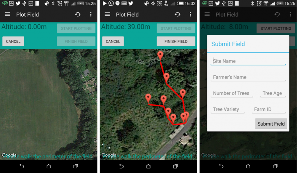
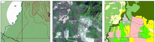
We formed a consortium to produce a geo-referenced database of coffee plantations and associated infrastructure in six key provinces of Burundi. This included automated identification of coffee farms and plots using satellite imagery, validated by ground survey and a unique, user-driven smart-phone application.
The challenge
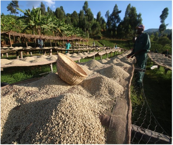
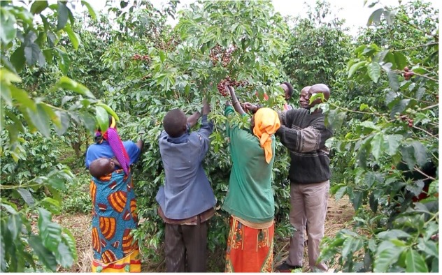
The coffee industry in Burundi was well placed to capitalise on an expanding global market, having an ideal climate, experienced local producers, support from private investment, well-established processing facilities (washing stations) and emerging associations and regulatory structure.
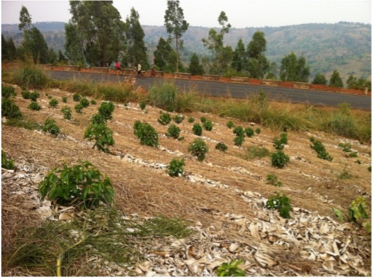
The industry faced a number of challenges from pests, diseases, high operational costs at washing stations and ageing trees that reduced quality and yield.
The project was established to help the coffee industry capitalise on its advantages while reducing the impact of challenges, to improve the efficiency, quality and ultimately the yield of Burundi’s coffee farms.
Project structure
The project was delivered in stages:
Stage 1
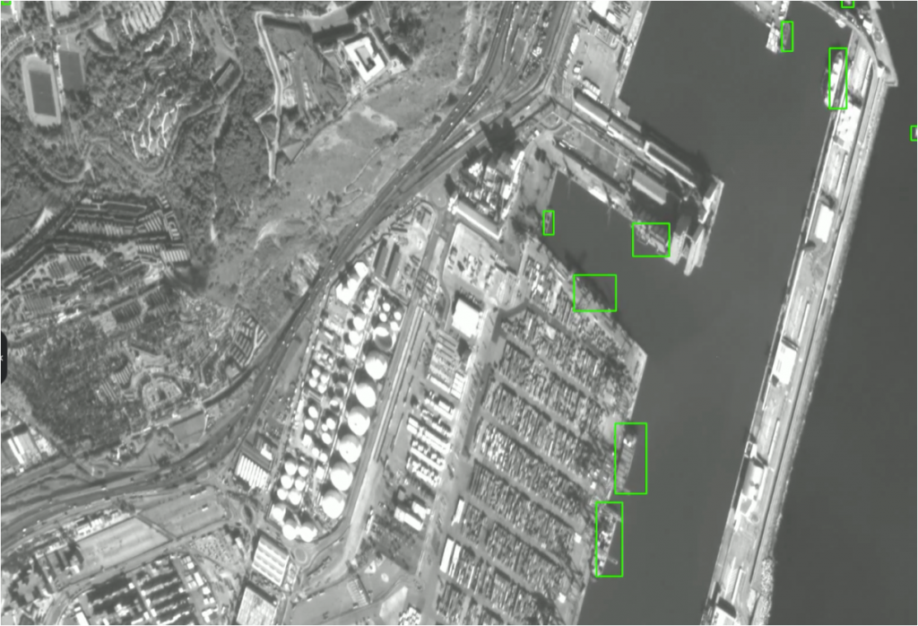
- Automated extraction of coffee plantation plots from satellite images
- Pilot study for coffee detection methodology
- Development of a basic geo-database.
Stage 2:
- Validation and quality check of the satellite interpretation using ground survey.
Stage 3:
- Automated extraction of coffee plantation plots and washing stations using satellite images across six provinces.
- Application of refined methodology
- Development of a fully-functional geo-referenced database
- Development of a front-end visualisation, to be used as a supply chain information system for all stakeholders in the Burundi coffee industry.

The service
Our consortium developed an operational and sustainable Earth Observation (EO), Geographic Information System (GIS) based supply chain information system for the Burundi coffee industry.
The project provided an innovative step from research environment to effective and sustainable services to help overcome challenges faced by the Burundi coffee industry. The methodology represented new technology designed to help agricultural decision-makers improve the competitiveness of the Burundi coffee sector, by optimising both quantity and quality of crop outputs, thereby increasing yield and profits, throughout the entire value chain, from the farmer to the end-user.
This comprehensive project contained a number of component deliverables such as:
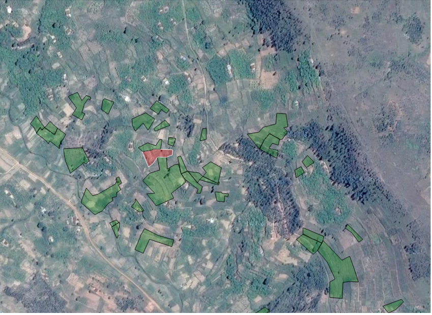
- Geo-referenced database including coffee trees and wash stations.
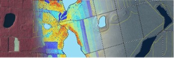
- A report on the technical specifications of different types of satellites used and the methodology, along with a statement of the preferred choice of satellite and rationale for this choice.
- Comparison and correction of the database using the data collected in the field audit.
- A report with the conclusions drawn for adapting the methodology and improve the interpretation of satellite images.
- A geo-referenced database for the six provinces targeted by the Project, including coffee plantations, wash stations and rural access roads.
Benefits
This geospatial development brought together cloud technology and workflows that minimised user intervention beyond simply selecting the type of information they wish to extract and the geographical area over which the user wanted to run their processes.
A key benefit was to automate and shorten processes that would normally take more steps, more processing time, and human intervention. Running these processes in a web-based environment was a key piece of this high level of automation, increased efficiency and engagement of coffee growers.
The project enabled pro-active environmental stewardship through GIS solutions, to provide a range of benefits and add value environmentally, socially and economically.