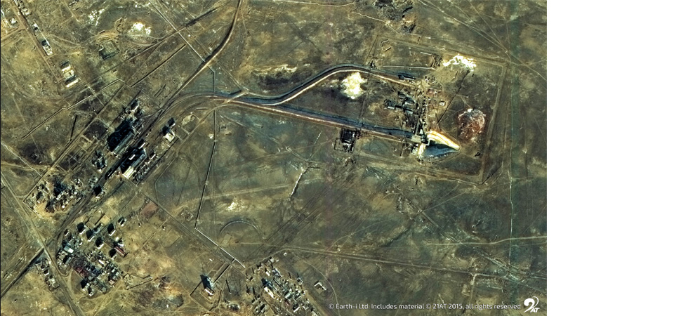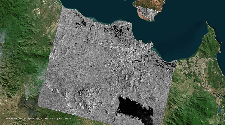
Optical satellite imagery is a great way to view the world as the human eye does, however it does not always reveal to us all the “secrets” that the Earth holds, especially as it will always be at the mercy of clouds. Synthetic Aperture Radar (SAR) on the other hand, can image at both day and night, in almost all weather conditions. Moreover, because SAR sensors are sensitive to the “roughness” and “wetness” of the target surface, they offer us insights into crop cover type, marine pollution sources and even forest biomass. As SAR sensors work by emitting microwaves and calculating the amount of time it takes for them to return to the sensor, it is highly sensitive to ground movement as well which is critical when monitoring tunnelling work and post-earthquake assessments, for example.
Staunch traditionalists of satellite Earth Observation have always said that you had to pick your side: Optical or Radar. In the early days, there was little mixing in the use of such data, nor was there much crossover in applications. Quite often there was just insufficient overlap between the various data sets, and if one received an ERS-1 radar dataset (launched and retired in 1991 and 2000 respectively) you could almost be certain that the corresponding Landsat optical coverage was cloud covered – not to mention the purchase costs!
Much has changed since.
Through the regular coverage of the Sentinel-1 and Sentinel-2 satellites of the European Space Agency’s (ESA) Copernicus programme, we now have at our disposal, a regular time series of both optical and SAR data with similar spatial resolution (pixel size). This allows for easier comparison between datasets. And the best thing about it? They’re all freely available!
It has now become increasingly common for Earth observation scientists to fuse both optical and SAR data sets into one analysis stream. However, the sheer volume of the almost non-stop influx of such data makes this a challenge to interpret. The advancements in cloud computing services, Artificial Intelligence (AI) and Machine Learning (ML) methods, however, are enabling an ever-increasing number of data sources to be exploited and analysed in greater depth and detail in order to derive the unique insights for our clients to make even more informed decisions.
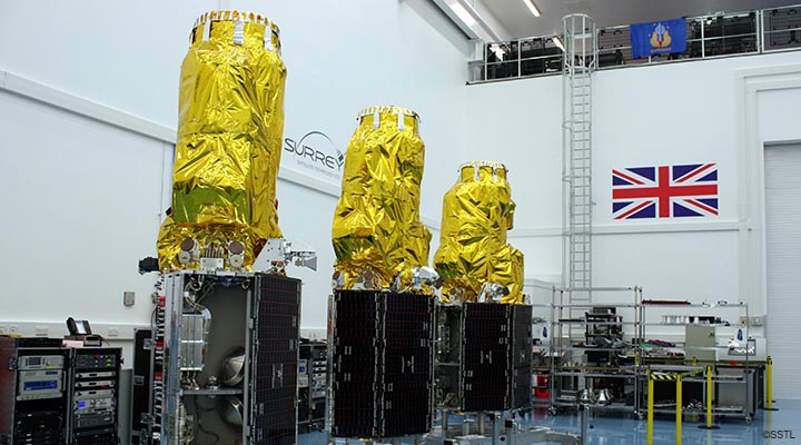
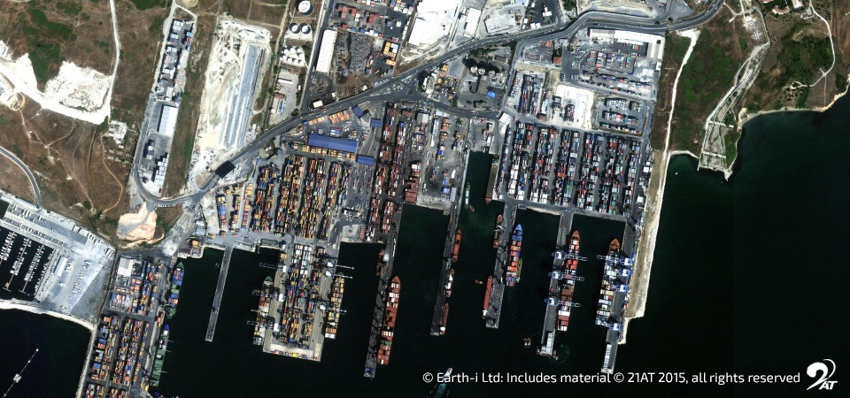
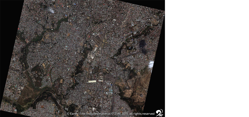
We recognise the power of spatial data fusion across multiple datasets and its importance in the continued growth of the geospatial sector. Earth-i has a strong background in very high-resolution optical satellite data applications, as well as in the first commercial colour video datasets from space. The complementary nature of SAR data is delivering even further benefits within our products with geospatial data.
We recently conducted a seminar on the basics of radar remote sensing, not only for the remote sensing specialists, but the entire team at Earth-i HQ. The session re-introduced the nature of radar remote sensing, its positives and negatives, and discussed how it could be applied for project activities within the company.
Knowledge sharing not only facilitates and increases internal communication, but also lowers the barriers for non-technical team members to ask questions and engage with technical staff. This was immensely beneficial for all participants, with continuous learning being an essential part of a ‘space tech’ company like Earth-i.
To find out more about Earth-i’s techniques, please email info@earthi.space.co.uk.