Aerial data has been a method of monitoring land use and tracking urban growth for many years. But the use of Earth Observation satellites and remote sensing for urban planning is now gathering pace as the application of big data and very high-resolution imagery allows for information to be gathered more swiftly, more cost effectively and in greater quantities. This data provides a more timely and effective response to the changes in use of land, infrastructure and the environment.
The importance of aiding urban development
Urban development covers a wide array of subjects, from the movement of people, the planning of utilities to the distribution of resources. With the development of urban areas around the world increasing at an exponential rate, we need new methods for helping with efficient planning.
More than half of human beings (3.9bn) now live in urban areas, but whilst developed cities have challenges of their own. It is the urban sprawls of developing countries and emerging economies which face problems such as overcrowding, congestion, sanitation and environmental quality. Very-high resolution satellite data can enable urban planners
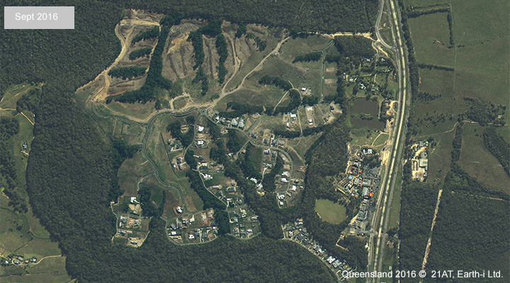
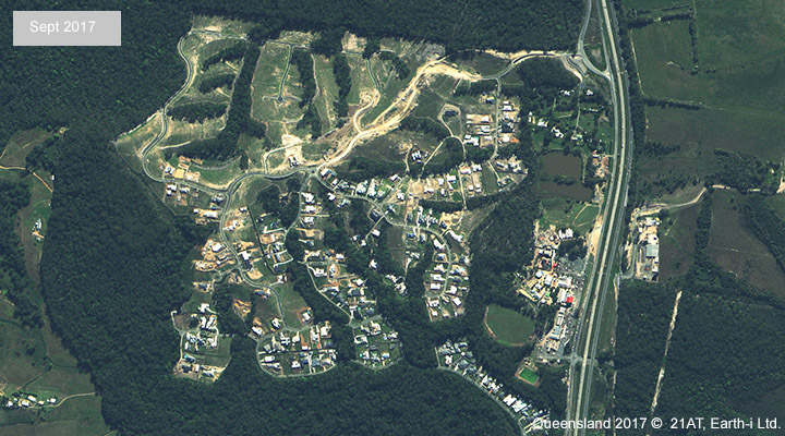
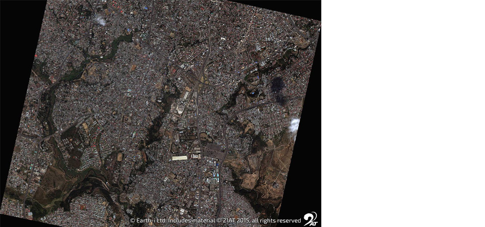
High resolution image maps provide attention to detail
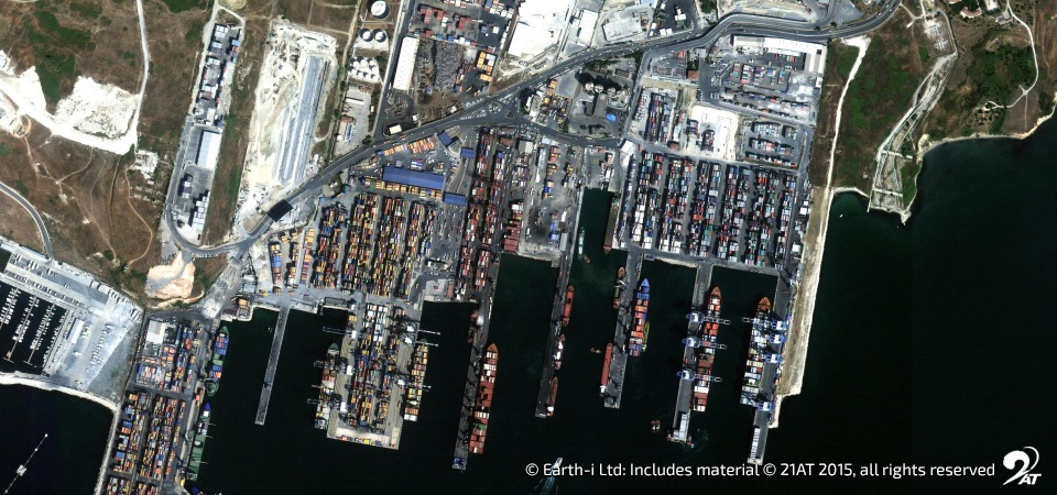
With sprawling cities spanning larger expanses than ever before, very high-resolution imagery from satellites is the most effective way to gain an accurate picture of landscapes in their entirety and complexity.
These images are so detailed that developers have been using them to find abandoned warehouses and empty spaces inside cities. By doing this, planners can develop new buildings in these spaces to avoid expanding the city limits further into rural territory and eating up land needed to feed these growing populations.
A new generation of data for urban planners
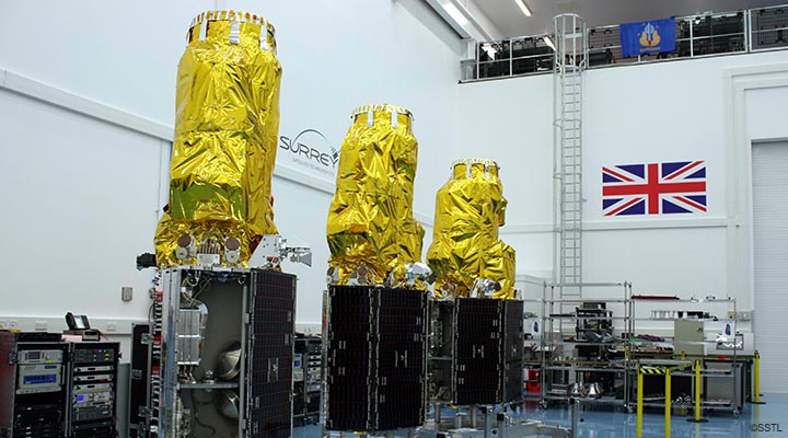
While very high-resolution data was once the preserve of a small number of sophisticated and expensive government-owned satellites, the launch of a new generation of commercial EO satellites has literally opened up a whole new world of spatial data acquisition. Until now, the challenge has been that acquiring this level of data quality has come at a high monetary price. However, the reduction in the complexity, size and cost of EO satellites, has now made VHR data more accessible and more affordable.
This new data is creating an opportunity for a ‘technology leap’ for developing nations using these new very high-resolution EO satellites. Taking this leap offers a chance to bypass traditional, highly-expensive, ground-based survey techniques, and to do so without the operational limitations and costs of drones or aerial survey, whilst still achieving a spatial data set that is inclusive, accurate, attainable and – crucially – affordable.
With accurate and detailed information such as this more easily accessible, urban planners have the opportunity to make fully informed decisions about a wide variety of urban development and management projects.
To learn more about Earth-i’s satellite data acquisitions, please contact us at enquiries@earthi.space.co.uk