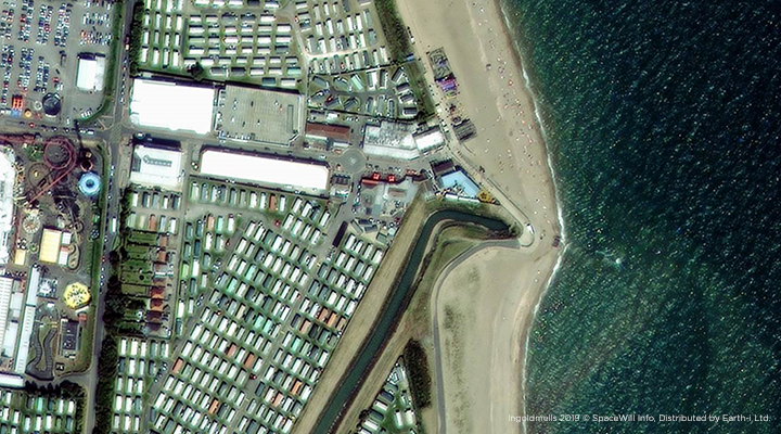
The coastal environment is regarded as a highly valuable area, not only from a natural conservation point of view but also because we as humans like the benefits of the coast and living close to it. Hence it becomes a highly valued piece of real estate in many societies. In a similar way we like the rivers and live on the banks to enjoy the water views and the recreational possibilities they can provide. But these riparian areas are also the buffer between land and water and can be particularly affected by erosion.
Change over time
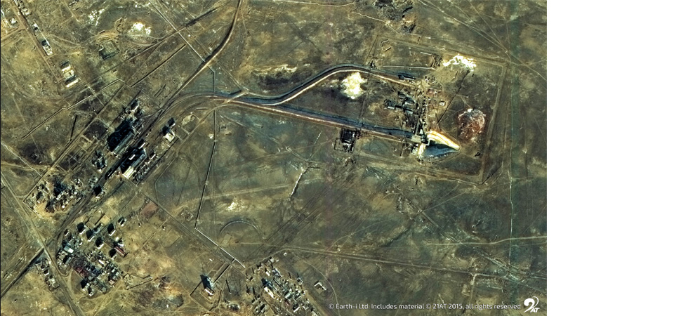
Away from the major centres where these areas are under constant view, there is little activity to monitor the coastline, estuary and inland riverbanks in their entirety. Natural and man-made impacts will, over time, cause changes and lead potentially to issues which could have been avoided if known about. It’s part of what is commonly known as Situational Awareness, but not as often understood in a pre and post emergency, or a disaster situation. Typically, we consider coastal and riverbank erosion to be a slow changing – longer timescale process, which needs regular monitoring and mapping. Earth Observation and satellite imagery in particular is an ideal tool for this, especially in remote areas.
Monitoring change
We need to monitor the changes in the coastal landscape and the coastal waters in areas that are within a few kilometres from the shoreline. Such changes, however small, can be indicators for a bigger issue in the future. For such monitoring tasks both optical and radar based remote sensing methods can be beneficial and if possible, should be used in synergy. Soil, sand, and rock movements can be mapped by InSar EO techniques; vegetation changes and geomorphological observations with optical EO methods. Using Machine Learning algorithms and Artificial Intelligence approaches, we can apply the knowledge from one area to another and create benefits on a larger scale. The issues in one localised region may be quite different to another, but the general tools and methodology of remote sensing can be an invaluable process that aids in combatting avoidable and unwanted coastal erosion or accretion.
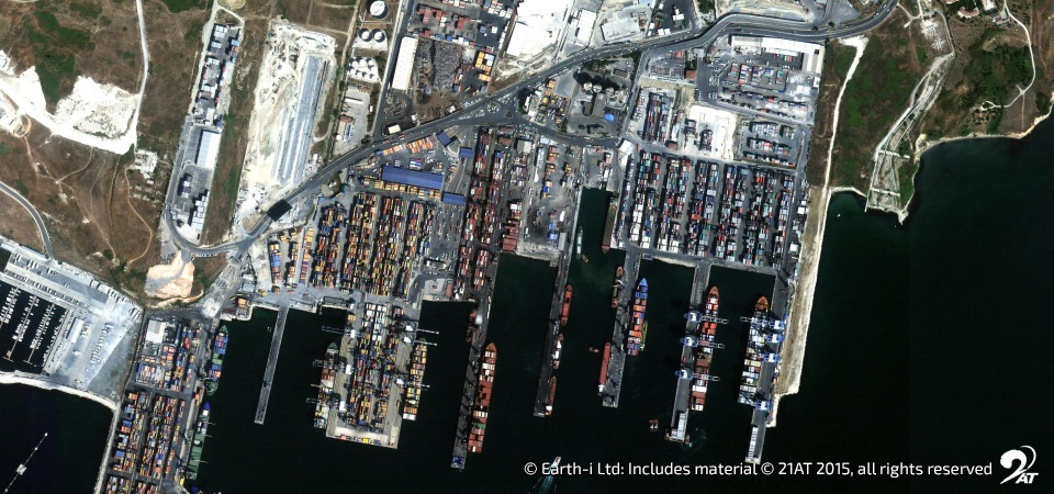
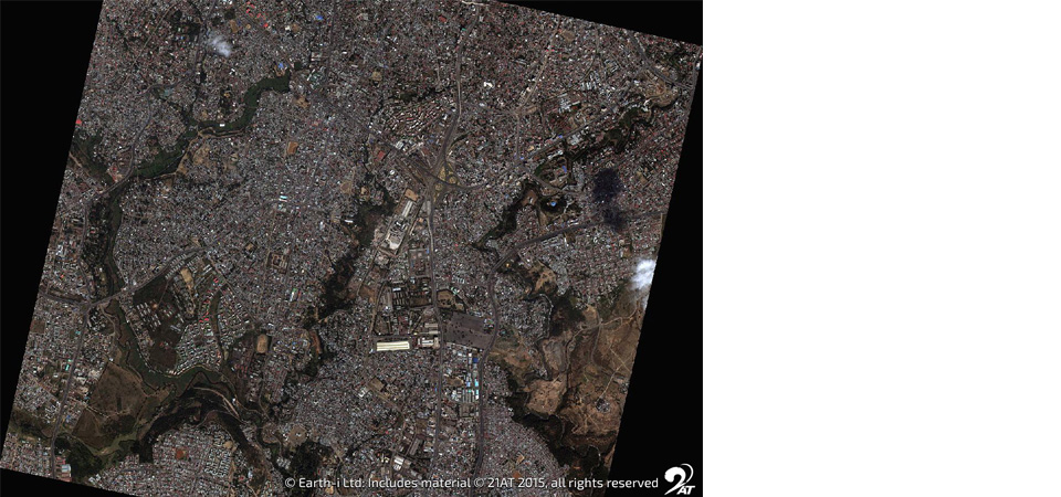
Very-high resolution data
In order to be as effective as possible, the scale required for such erosion and accretion related assessments need the spatial detail of VHR base maps. For example, coastal roads may become affected by encroaching erosion, vegetation holding up a riverbed may be affected and loose its stabilising factor. Shallow water areas may have silted up and become a dangerous obstacle for boating and bird or other nesting wildlife on the shores can be affected by changing coastal waters. Additionally, pollution may have accumulated along the shores and requires attention.
Earth-i can not only provide the regular VHR satellite base maps, but can also provide analysis of the geospatial data to allow a coherent and continuous assessment of our water and land boundaries. Earth-i also provides a meaningful integration platform for other more localised data into a homogenous living map. These elements combined raise the bar for policy makers and environmental planners by providing more accurate and timely insights into the changing environment and effects commonly linked to climate change.
In 2018 UK Space published a report on the topic which can be accessed through the link below:
https://spaceforsmartergovernment.uk/case-study/ukgeos-earth-observation-for-coastal-erosion-and-accretion-monitoring/
For more information about Earth-i’s data analysis methods, please email products@earthi.space.co.uk