As our digital world becomes more interconnected by big data and the ‘Internet of things’, the ability to access and process great volumes of new and historical data is ever increasing in importance for the success of a geo-spatial insights company such as Earth-i, as our colleague Sam Bancroft, recently mentioned in his blog “what’s space got to do with copper production?”
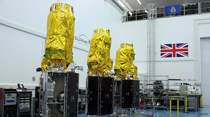
Earth-i is well placed to assure success in this field, with the benefit of our well established Earth Observation (EO) credentials, together with our in-house technology team of computer vision and machine learning specialists; the most basic implementation of our approach to Earth Observation big data is in combining large archived data sets from numerous past and present Earth Observation satellites with our preferential access to a virtual constellation of 24 taskable satellites in various resolutions.
This enables the creation of a database of historical pattern-of-life ‘norms’ using time series analysis. New information is then derived by integrating this analysis with new data by tasking our EO satellites to routinely monitor the area of interest. This combination of historical and newly tasked imagery represents a simple but powerful method of data fusion with a host of applications.
Historic time series imagery offered by long duration medium and low resolution missions is often crucial for creating a ‘future prediction’ insight product. The need to build up a historical pattern of a certain location, and of activity at that location, enables us to systematically identify and flag changes for our clients, whether this takes the shape of a new feature, activity or unusual movement, all outside of the previously observed ‘norm’.
The applications of this approach include:
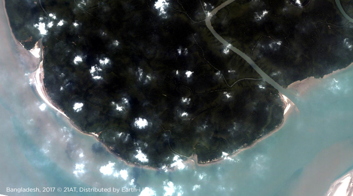
- Humanitarian projects, such as detecting new brick kilns and fish farms in India and Bangladesh, respectively, as indicators of possible modern slavery, in support of the United Nations Sustainable Development Goal (SDG) target 8.7.
- Environmental/ecological monitoring, such as monitoring natural resource exploitation or animal welfare monitoring in animal sanctuaries or natural wilderness
- Agricultural/climate change applications, such as coastal erosion change detection, or monitoring crop health
Historical data can also provide supporting evidence for previous incidents of slavery indicators, illegal logging, and a number of other example use cases. This is useful for the planning of subsequent missions indicating where to look for signs of renewed or recurring illegal activity. The application of change detection techniques means that the patterns of such activity can be established, feeding vital intelligence to law enforcement or humanitarian agencies so that decision-making on how to tackle the problem can be precise, timely and effective.
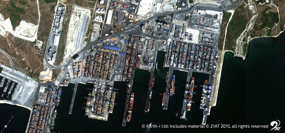
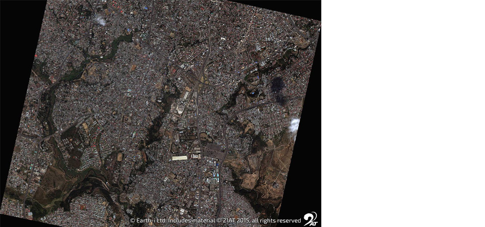
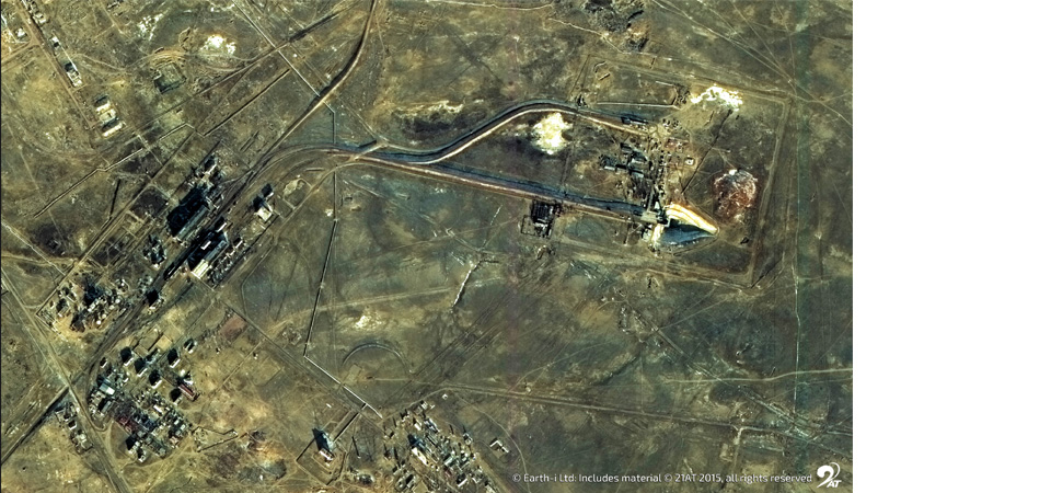
The Very High-Resolution (VHR) imagery available to Earth-i – ranging from 1 m to 0.4 m – is also vital, since certain important features can only be distinguished or specific types of human activity can only be identified, with higher resolution imagery (sub-1m). The VHR data provides an up-to-date baseline at the start of the project and, with the availability of multiple VHR satellites, frequent revisits to the same location enable ongoing monitoring of areas of interest to detect and flag changes or unusual activity.
Archive data therefore serves several important functions in space-based monitoring. It provides the baseline to understand what has happened previously in a specific location, which in itself can yield previously unknown insights. Using the knowledge gained, planners can work out a cost-effective programme for ongoing monitoring, the fusion of new and old data enabling new levels of activity analysis and change detection. Decision-making can then be both swift and effective.
With the application of artificial intelligence (AI) and machine learning, much of this analysis can also now be automated, bringing about even better rapid response to changing circumstances. Beyond that, the fusion of historical data with newly acquired in the world of AI can deliver predictive modelling of what might happen in the future. In that case, action can be preventative, and not just responsive. And in that world, long-standing problems may become solvable, not just manageable.
Brave new world ahead!
David Hatch and Tom Waddington work together in our dedicated Client Services team at Earth-i HQ in Guildford, Surrey.
To find out more about Earth-i’s techniques, please email info@earthi.space.co.uk.